ReadyMap® Tiles
Global basemaps for your disconnected environments.
Included with ReadyMap Server or available for standalone purchase.
ReadyMap Tiles is delivered on an external hard drive containing pre-tiled imagery and elevation that is ready to start streaming to your geospatial applications immediately.
Satellite Imagery Basemap
Worldwide composite of UMD Global Land Cover Facility ETM+ data (up to 15m resolution over land) and NASA BlueMarble-NG data (up to 500m resolution in ocean areas). We applied our proprietary image processing algorithms to transform the raw data into the visible spectrum.
Tiles are 256x256 in JPEG format.

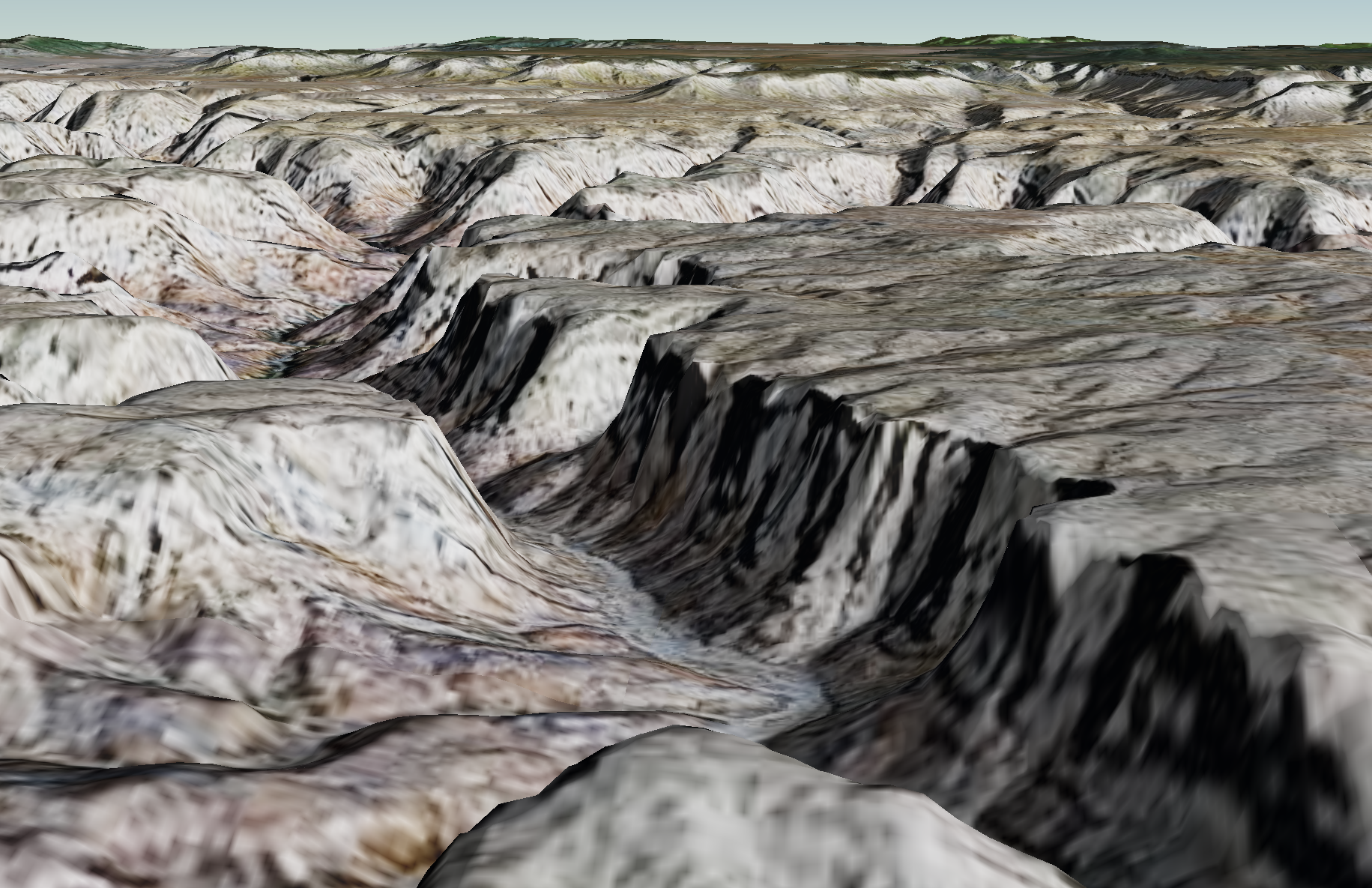
Elevation Basemap
Worldwide composite of SRTM height fields, a composite of CGIAR-CSI SRTM (up to 90m data over land) and SRTM 30+ bathymetry from UCSD (~1km resolution in ocean areas).
Tiles are 257x257 (one pixel overlap) in GeoTIFF format.